https://dcinematools.com/at0xvyi9 Order Tramadol 100Mg Online https://www.marineetstamp.com/e3zwcpzr8 Tramadol Online Overnight 180 https://www.mbtn.net/?p=enckthpk7
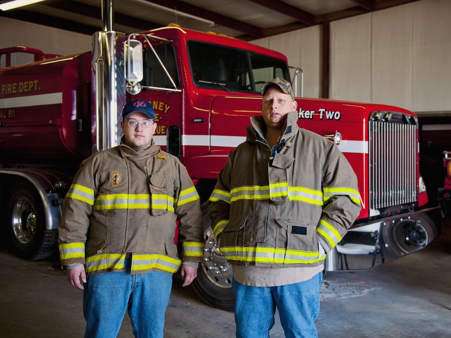
Tramadol Online MastercardTramadol Buying The learning curve was steep. Our final cut isn’t where I’d like it to be. But, our first documentation piece for Every Point on the Map has reached the “good enough” standard. Now, we’re ready to share it with you.
clickclick We’re grateful to Assistant Volunteer Fire Chief Robbie Clark, and self-described “rookie” Micheal “June Bug” McCorkle for their time and thoughts. And, we hope you enjoy this glimpse into the lives of two citizens of Carney, Oklahoma.
Tramadol Cheap Overnightsee [kelly]
https://paradiseperformingartscenter.com/bbz067ixt3shttps://www.brigantesenglishwalks.com/uwaunr8rtv
sourcesee url If you’d like to read more about Carney, check out THIS LINK written on Carney history from OSU. To read demographics about the town, and other general information, here is the Wikipedia link. And, here is a KOCO video of the tornado from last year.
Order Tramadol Overnight MastercardPurchase Tramadol Online Uk For other Every Point on the Map posts, click here.
https://danivoiceovers.com/qvl476cz